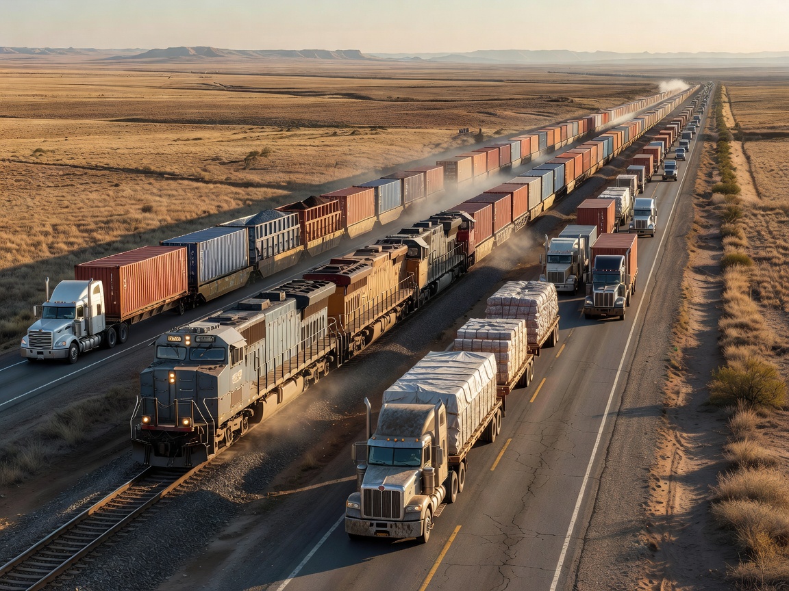
A seaport is only as effective as the transportation networks that connect it to the hinterland. The Port of Vancouver operates at the nexus of a massive, intricate web of road, rail, and warehousing infrastructure. This intermodal connectivity is what transforms a coastal docking area into a comprehensive gateway for continental supply chain logistics, moving cargo from ship to shelf with engineered precision.
Class 1 Railway Integration
The backbone of the port's inland connectivity relies heavily on Canada’s two Class 1 railways: Canadian National (CN) and Canadian Pacific Kansas City (CPKC). These rail networks stretch from the Pacific coast directly into the heartland of North America, reaching major markets in Chicago, Toronto, and the US Midwest.
A critical advantage of the port's infrastructure is its emphasis on on-dock rail. Major terminals like Deltaport are designed so that trains can be loaded directly alongside the vessels, bypassing the need for intermediate truck transfers. This direct-to-rail transfer is essential for moving high volumes of bulk commodities—like grain, coal, and potash—and for expediting long-haul containerized freight. The efficiency of these rail corridors dictates the overall fluidity of the port; any disruption on the tracks, whether due to weather or labor disputes, instantly ripples backward to create terminal congestion.
The Drayage and Highway Network
While rail handles the long-haul bulk, regional distribution is entirely dependent on the trucking sector, known in port logistics as drayage. Thousands of truck movements occur daily, shuttling containers between marine terminals, off-dock rail yards, and distribution centers scattered across the Lower Mainland.
This massive volume of heavy vehicle traffic requires robust highway infrastructure. The port is highly integrated with the regional highway system, utilizing corridors like the South Fraser Perimeter Road to connect terminals directly to the Trans-Canada Highway and the US border. This network must operate with tight scheduling, often governed by terminal gate appointment systems designed to spread out truck arrivals and prevent massive traffic snarls in the surrounding municipalities.
Transloading and Warehousing
The land surrounding the port, extending out through Richmond, Delta, and Surrey, is heavily industrialized to support maritime trade. A crucial component of this is transloading. Often, international marine shipping containers (typically 20 or 40 feet) are not sent directly to their final inland destination. Instead, they are trucked to local transload facilities where the cargo is unpacked, sorted, and reloaded into larger 53-foot domestic trailers or railcars.
This process maximizes domestic freight efficiency and frees up the marine containers to be quickly returned to the port for export use. The demand for massive, high-ceiling distribution centers to facilitate this transloading, cross-docking, and short-term warehousing has driven immense growth in the regional industrial real estate market.
Logistical Challenges and Optimization
Managing this multifaceted supply chain is a continuous exercise in optimization. The primary challenge is geographical constraint: bordered by mountains, the ocean, and the US border, the port operates in an area where industrial land is incredibly scarce and expensive. This physical limitation demands intense data integration.
Port authorities and logistics companies utilize advanced data sharing platforms to track cargo visibility in real-time. By predicting ship arrivals, train capacities, and truck availability, stakeholders can coordinate hand-offs smoothly. The ultimate goal of supply chain logistics in this environment is uninterrupted velocity—ensuring that cargo remains in constant motion, minimizing dwell times, and maximizing the throughput of limited physical space.